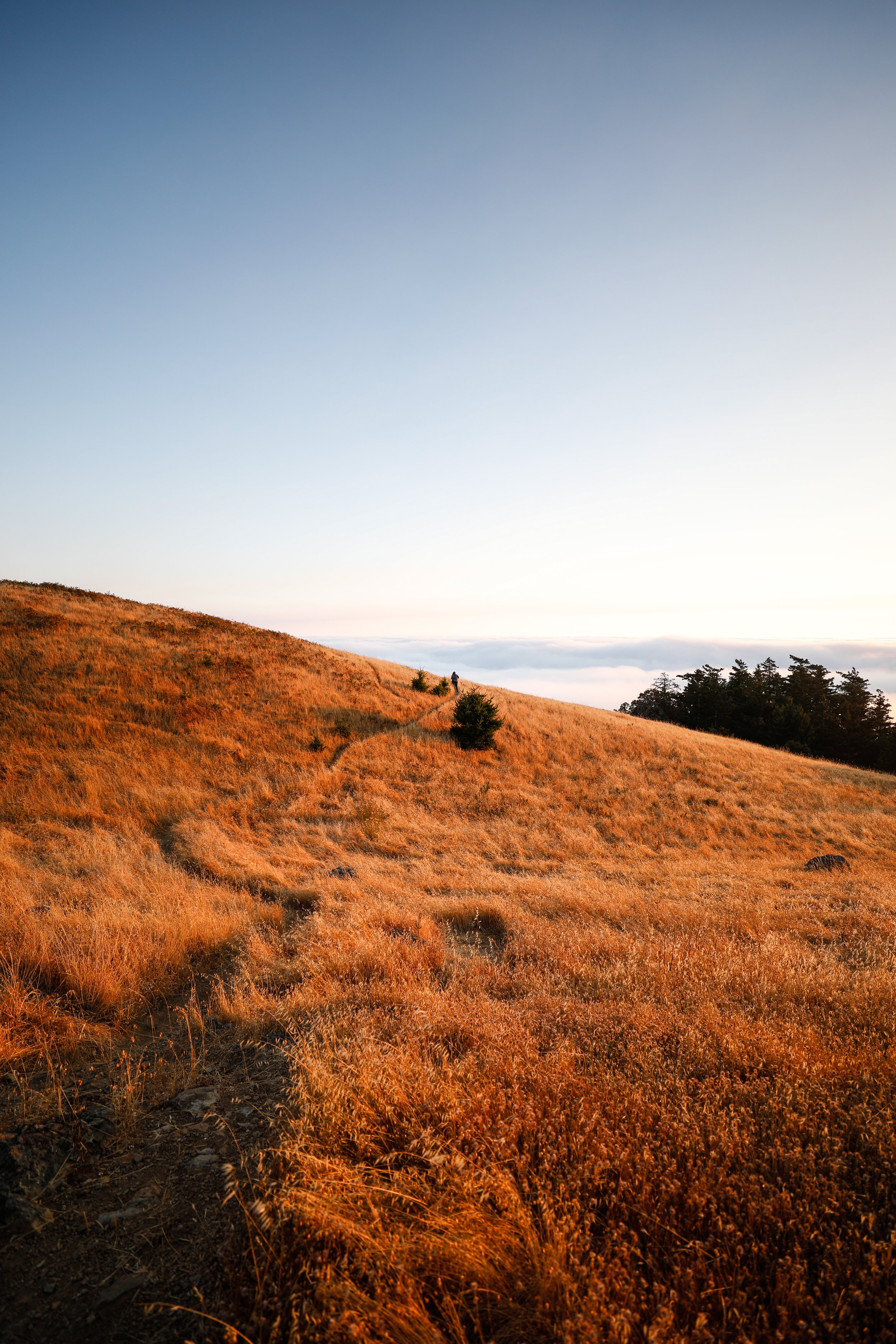
Mount Tamalpais
Ben Ashby
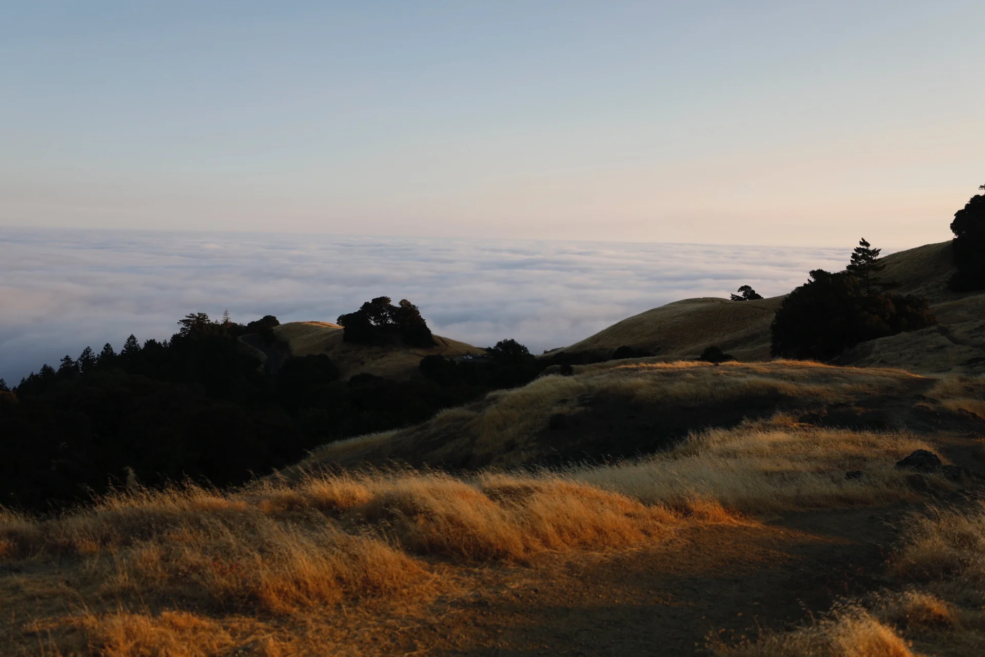
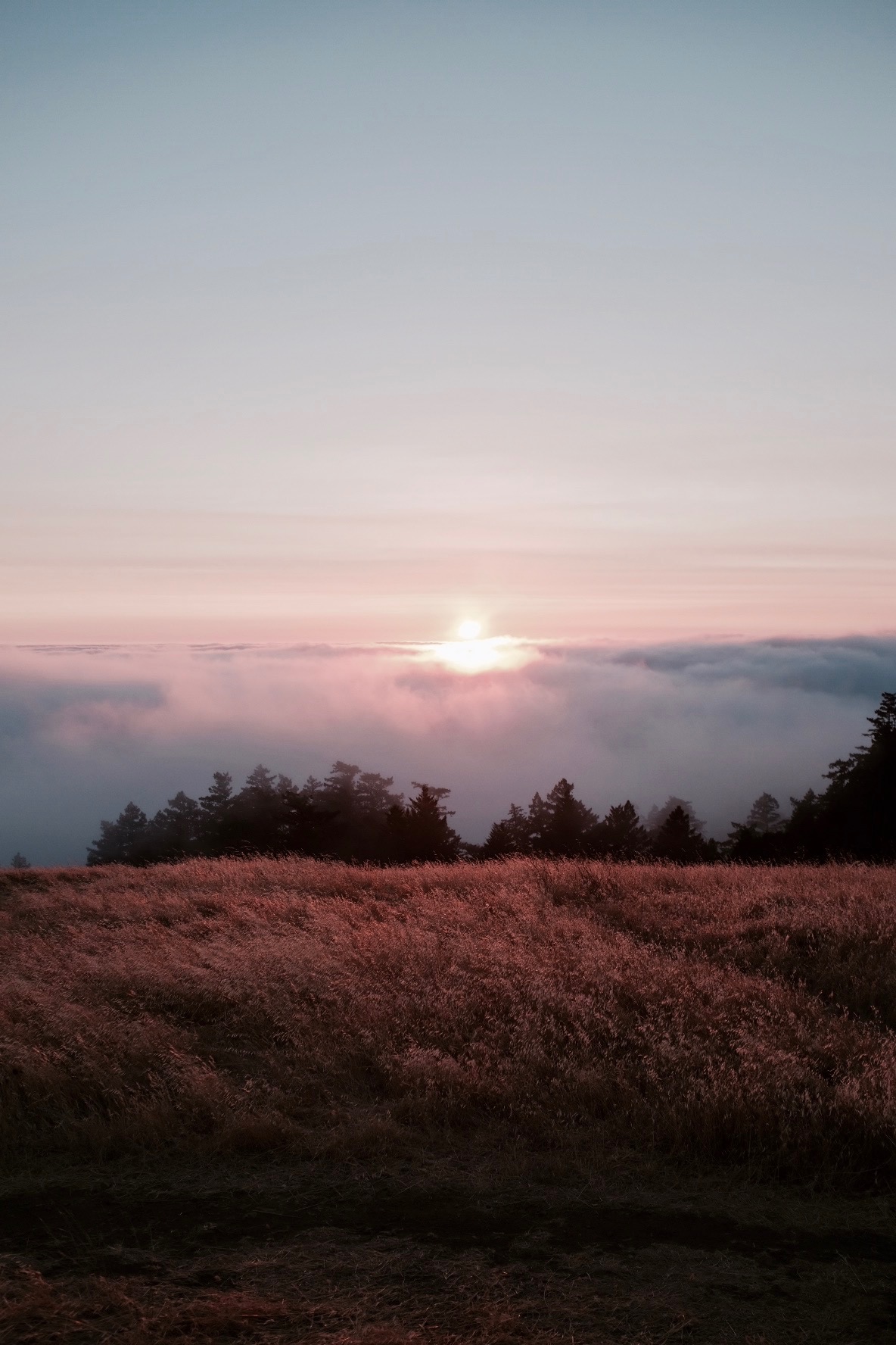
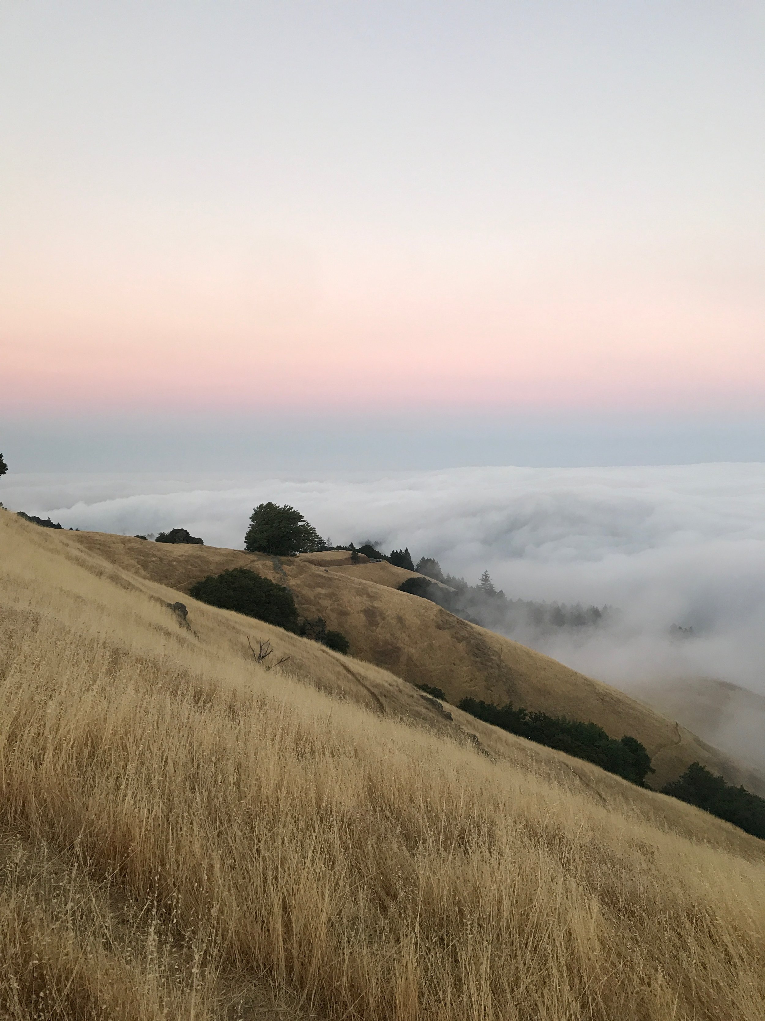
We'd seen the view in so many photos. A golden hill high above the fog and clouds. Paths cut through the dried grasses and fading into the clouds below. We knew we had to visit while we were in San Fransisco. Mount Tamalpais is just a very short drive north of the Golden Gate Bridge. The perfect sunset spot and a very easy hike.
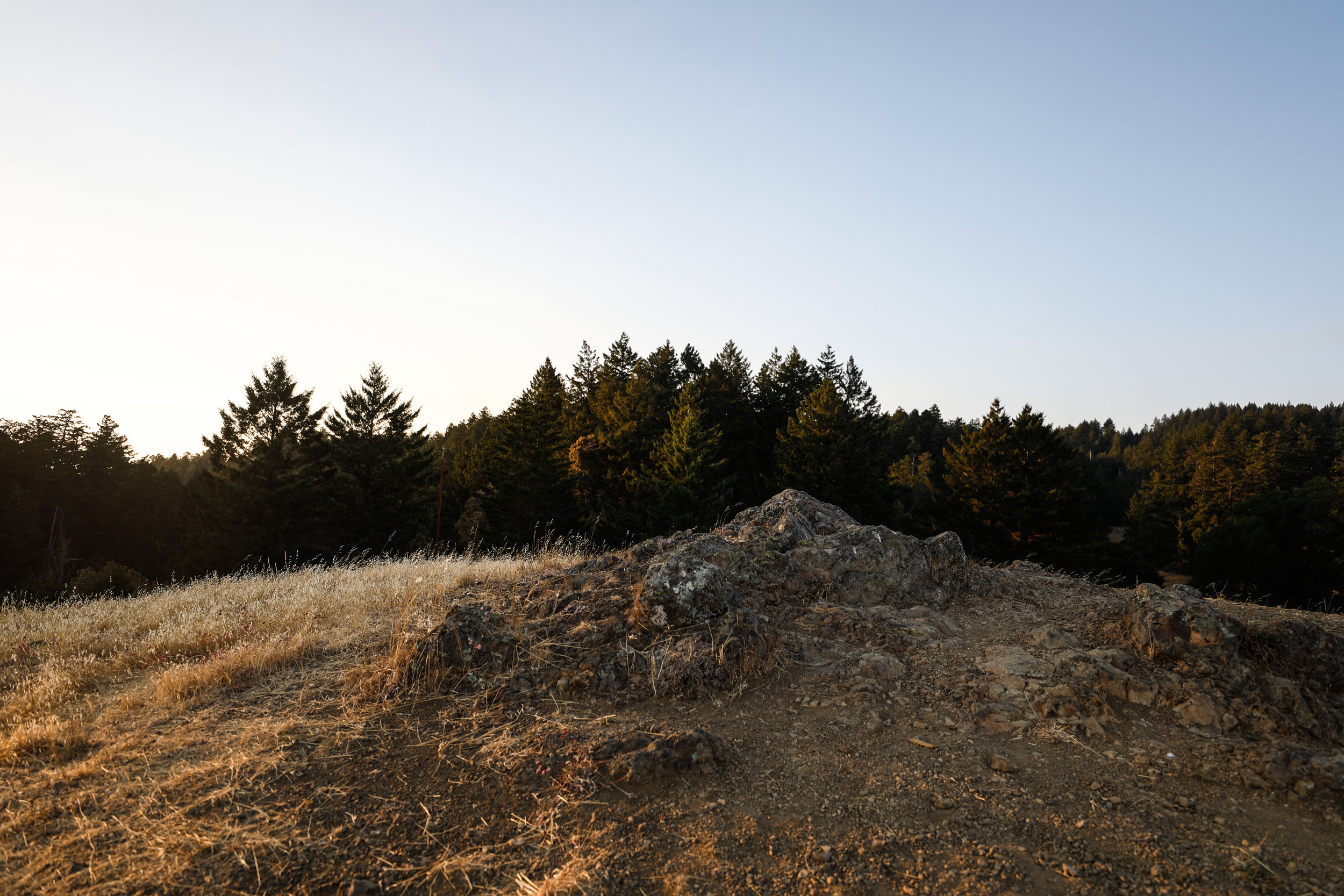
The following are images I shot at sunset near the peak of Mount Tamalpais with the Canon 5d Mark IV.
"Just north of San Francisco’s Golden Gate Bridge, Mount Tamalpais State Park rises majestically from the heart of Marin County. Its deep canyons and sweeping hillsides are cloaked with cool redwood forests, oak woodlands, open grasslands, and sturdy chaparral.
The breathtaking panorama from Mount Tamalpais’s 2,571-foot peak includes the Farallon Islands 25 miles out to sea, the Marin County hills, San Francisco Bay, the East Bay, and Mount Diablo. On rare occasions, the snow-covered Sierra Nevada can be seen 150 miles away.
The park offers superlative hiking, picnicking, wildlife watching, and mountain and road bicycling." — ca.gov


